Drone Roof Inspection in Westminster, CO
Use drone imaging on hard-to-reach Westminster roofs to map visible conditions, target hands-on checks, and label each image by roof section.
Drone Roof Inspection
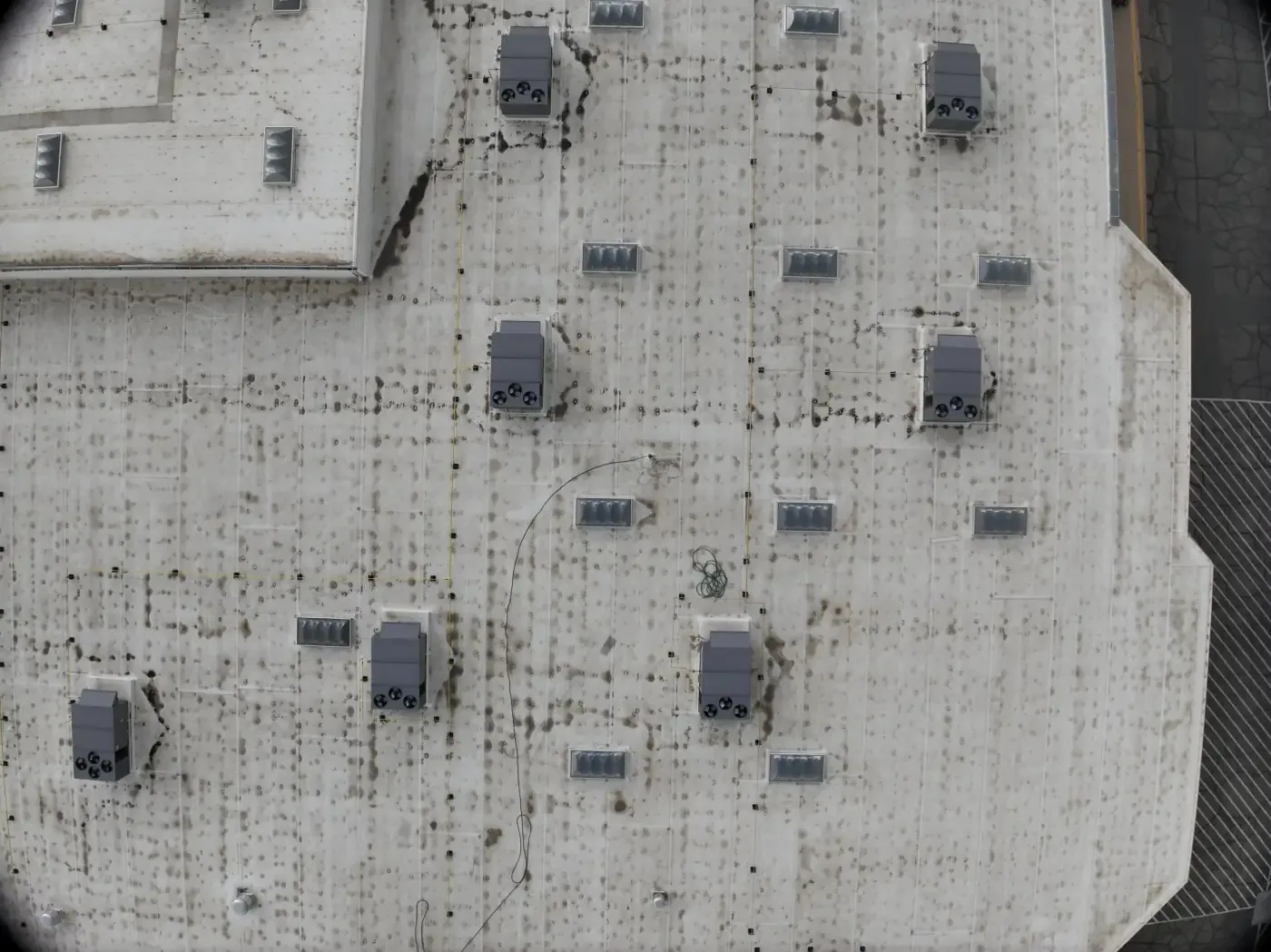
After hail or a wet spring storm, an aerial image can show the roof edge, drains, and equipment from a view that is difficult to capture on foot. It cannot confirm what lies beneath a membrane. We use drone imaging in Westminster to document visible conditions, orient repair photos, and identify areas for closer inspection. Hail was reported near the city in May 2024, while roof damage occurred elsewhere across the north metro. That history makes a post-event view useful; the property's actual marks determine the next step. A hands-on inspection remains necessary for seam probing, material checks, and hidden moisture questions.
Decide what the flight must answer
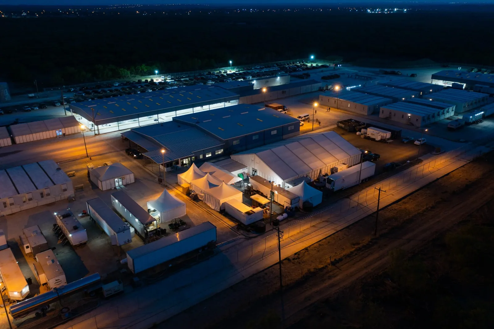
Before launch, we identify the building, roof areas, reason for the visit, and images the owner needs. A broad overhead view can help map wings and drainage routes. An oblique view can document parapets, rooftop equipment, or an edge transition. A closer image may show a visible split, debris, or displaced metal. Each view should answer a practical question rather than create a collection of unlabeled photographs.
We review roof plans and available repair records first. The flight path can follow the section map and include reference views that make each image identifiable later. If a roof has multiple buildings, we keep their labels and image groups separate. A property manager can then compare a specific drain or curb with a later visit. A condition report can carry selected images with observations and clearly stated limits.
Westmoor Technology Park lies along the northwest Denver-Boulder U.S. 36 corridor near Jefferson County Airport. Circle Point is an office campus. Large properties in those areas may benefit from organized image coverage, but neither district name tells us the height, materials, access rules, or condition of a particular roof. We confirm the site and plan each flight around its actual layout.
Read the image alongside roof details
An overhead image can show a clogged drain strainer, ponding area, patch pattern, rooftop unit, or visible impact mark. It may help identify where a hands-on inspector should look first. We compare each image with the roof plan and record date, orientation, section, and subject. A wide view gives context; a close view can show the surface. Neither view alone confirms membrane attachment, wet insulation, deck condition, or a watertight seam.
Winter accumulation differs across the Denver metro. At a Westminster building, we look for observed low points, discharge paths, and evidence of retained meltwater instead of treating regional conditions as a roof measurement. An image taken after weather clears can document visible debris and standing water if safe flight conditions permit. A drain and scupper inspection checks the outlet connection and flow path from the roof surface.
Images near the Church Ranch and U.S. 36 commercial node may include multiple nearby properties or road features. We identify the subject building and exclude surrounding images that do not help the owner understand its roof. A Westminster Promenade property still needs its own roof map, access approval, and image labels; nearby retail and hotel uses do not establish system details.
Mark where hands-on review begins
Drone imaging does not replace roof access where safe entry is available. A camera cannot probe a seam, test adhesion, identify a buried assembly, or determine whether moisture is trapped below the surface. We distinguish a visible condition from an interpretation and do not label a dark mark as a leak without supporting inspection. If a closer check is needed, the image becomes a reference for a qualified roof walk.
A thermal camera carried by an aircraft also has limits. Surface temperature can change with sun, shade, wind, moisture, and construction. It does not prove wet insulation without a suitable method and confirmation. If the question involves concealed moisture, a targeted moisture survey may include ground checks or a selected opening where the assembly supports it. The resulting report names the tested area and result.
After a hail event, we can use overhead images to record a pattern of visible marks, displaced accessories, or debris. A hail damage inspection determines whether those observations correspond to roof damage. Aerial coverage does not show every impact, and the absence of an obvious mark in an image is not proof that a surface is undamaged.
Plan the flight around site activity
Before the visit, the property contact confirms permission, occupied areas, access points, active construction, nearby airspace restrictions, and any privacy-sensitive operations. Weather, wind, precipitation, visibility, aircraft limits, and safe takeoff locations can affect timing. We do not fly through an unsafe window to meet a calendar date. If a flight is postponed, we arrange a new opportunity or use another inspection method that fits the request.
A business park, retail center, and industrial property can have different vehicle routes and daytime activity. Westminster's North I-25 and 120th Avenue corridors include varied commercial properties, but the flight plan is set with the actual site contact. For work near Westmoor Technology Park, we confirm where the aircraft can launch and which roof sections are included. The plan records the operator, date, imagery requested, and conditions that limit coverage.
If a roof hatch or escorted access is also needed, we coordinate that separately. The image can guide a ground crew to a location, but safe access and a physical inspection remain separate tasks. If active leaks or fragile surfaces are reported, the property manager identifies interior risks and any route restrictions before we begin.
Map the roof from a useful angle
Tell us what weather event or roof issue prompted the call, which area is affected, and what access is available. Send the Westminster address, building map, and site contact. We will confirm whether drone coverage can answer the request and what follow-up is required.
Keep each image tied to a roof section
Useful drone deliverables include dated overview images, selected detail views, a building and roof-section map, and brief notes on visible observations. Captions identify what the image can show and what it cannot establish. We flag areas obscured by equipment, vegetation, shadow, or image quality. The owner can then request a roof walk at the locations most likely to answer an open question.
On a multi-building property near Circle Point or elsewhere in Westminster, separate files by building and roof section. The image record should not imply that one sampled area represents every structure. Keep drone photographs with repair tickets and future inspection notes. A comparison works best when the next image uses the same orientation and identifies changes in visible conditions. If a permanent repair is needed, a repair scope includes hands-on confirmation of the material and limits.
To arrange imaging, send the Westminster address, roof plan or building map, reported condition or weather event, site contact, access instructions, and preferred window. Tell us which area is difficult to reach or what decision the images should support. We will confirm whether drone coverage fits the request and identify any hands-on inspection needed afterward.
Commercial Roofing Questions
Can drone images confirm a roof leak?
They can show visible conditions and help locate the area. We trace the water path and inspect the assembly to confirm an entry point.
Will an aerial inspection replace a roof walk?
No. Images do not test seams, attachment, substrate, or concealed moisture. We use them to document access-limited areas and direct hands-on review.
Can you inspect every roof area from the air?
Coverage depends on site permission, airspace, wind, visibility, roof geometry, and image quality. We label any blocked or unavailable section in the deliverable.
Do thermal drone images show wet insulation?
Temperature patterns alone do not confirm moisture. A suitable survey method and, where needed, a selected opening are used to verify the assembly.
What should we provide before a drone visit?
Send the address, building map, reported condition, site contact, access and flight permissions, and the roof areas or decision the images should address.
Related Roofing Work
Commercial Roof Inspection
Read more
Commercial Roof Condition Reports
Read more
Commercial Roof Drains and Scuppers
Read more
Westminster Promenade
Read more
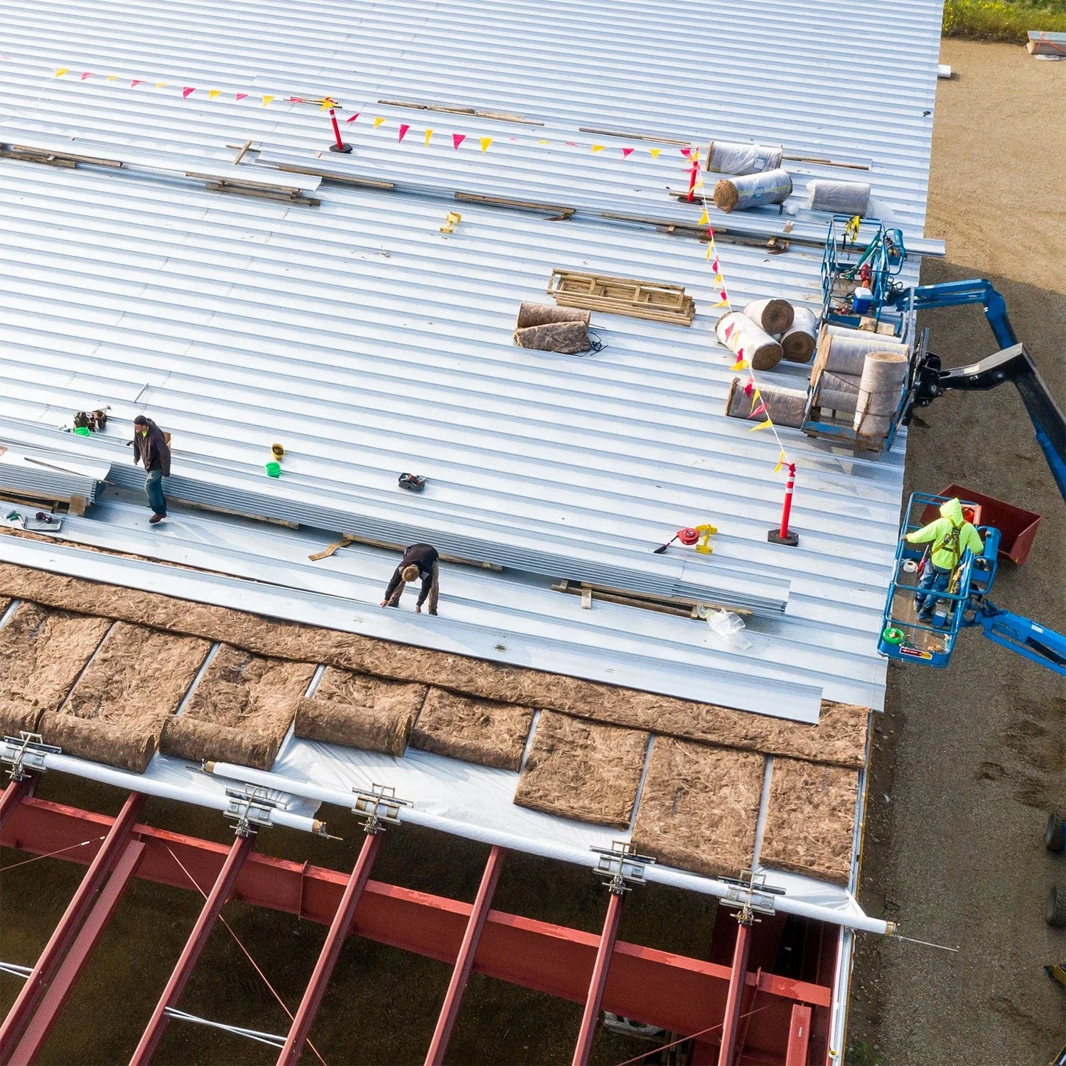
More Commercial Roofing Services in Westminster
See the rest of our commercial roofing services for Westminster commercial buildings, or call 555-555-5555 to talk through your roof.
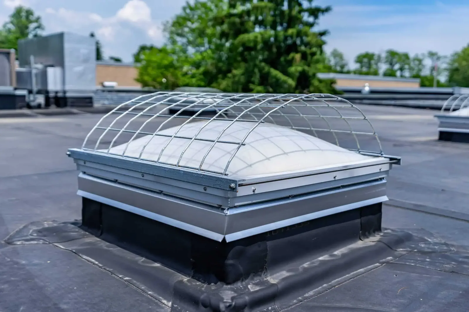
Drone Roof Inspection
Talk to Commercial Roofing Westminster
Call 555-555-5555 or send a request and we will schedule a visit to look at the roof, explain what we find and lay out your options.